News · 6 November 2019
Colombia: the endless wait of the Inga People
Mongabay Latam and El Espectador
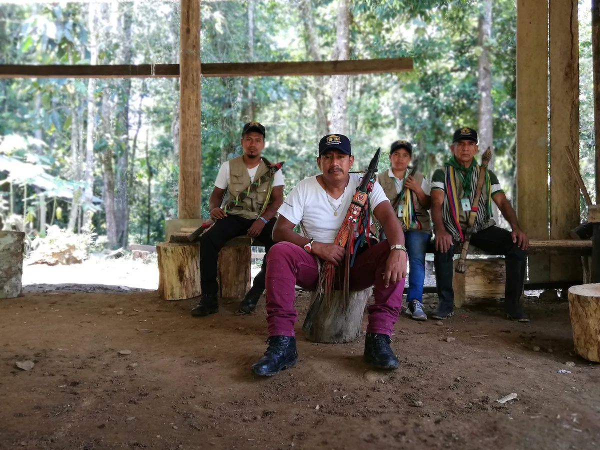
- When the Inga Indigenous People realized that an oil company was going to carry out exploration within their Resguardo, they georeferenced their entire territory, put together a map and filed an action before a court demanding prior consultation.
- The Administrative Court of Nariño ruled in their favor, ordered the cessation of all activity and verification of whether Indigenous people lived in the area. The Ministry of the Interior, in charge of this last task, has not issued a statement to this day.
- Mongabay Latam and El Espectador had access to a document, prepared in November 2018 after the Ministry's field verification, in which they insist that there are no Indigenous Resguardos in the project area.
(This article is a journalistic collaboration between Mongabay Latam and the Colombian newspaper El Espectador)
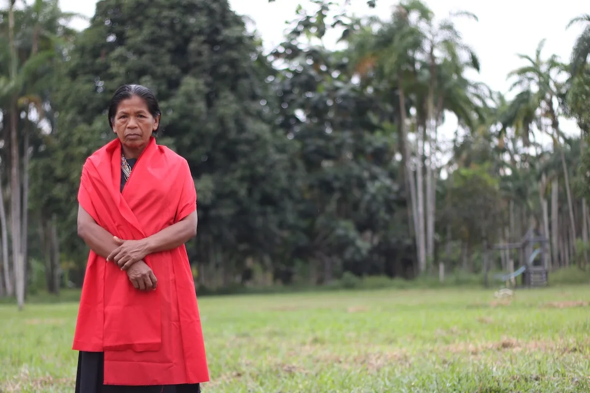
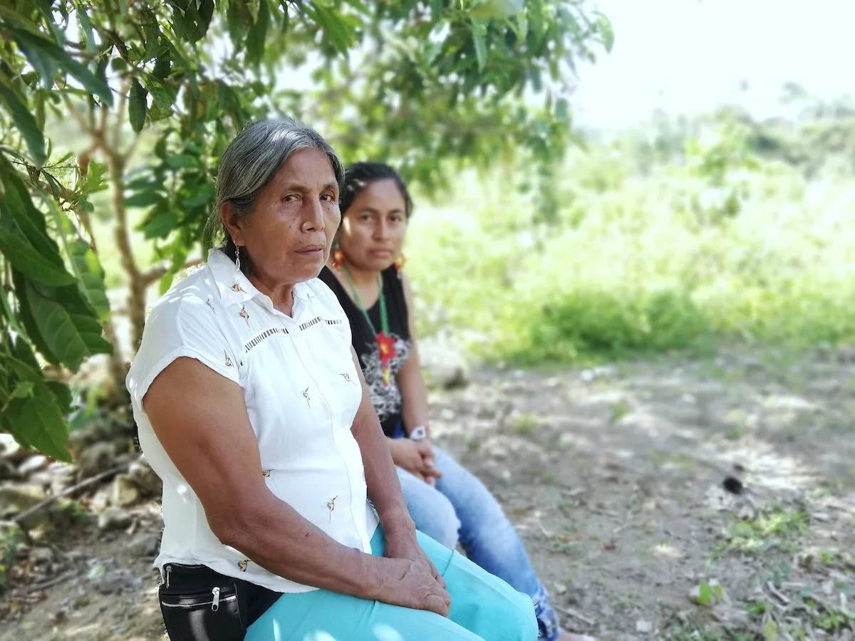
The first photo accompanying this text is of Aída Jacanamijoy. She is 59 years old and is governor of the San Miguel Resguardo, an area of more than 500 hectares where some 160 families of the Inga Indigenous People live. Before inviting us to breakfast of beans and chicken, she tries to explain her relationship with oil through an old anecdote:
“When I was about 5 or 6 years old the first company arrived”, she says. “They built an airstrip for light aircraft and then they made a town. Many foreigners came and my father set up a cantina. He brought prostitutes. It seemed like a good business. Over time I ran into two officials while walking along a trail. I was already 19. When they saw me they chased me and grabbed me. They grabbed my breasts; they squeezed them. I didn't know what to do, so when a motorcycle appeared, I shouted and said it was my boyfriend. They let me go. I ran to doña Espíritu's place and wrote a letter to the company telling them I was going to sue them. I put a man's signature. The next day they apologized to us. They gave us fruit and canned sausages. They never came near me again”.
The story in 1 minute. Video: Mongabay Latam.
Since then, says Aída, she has always looked at foreign companies with suspicion. Today she confirms it with facts: “Over there in that white house we have just started a new negotiation with another oil company. They are seeking the expansion of an environmental license to continue exploiting, but to do so they must consult us. In exchange we asked them for $9 billion pesos [around US $3 million]. They did not accept.” It is a high figure that hides an underlying reason, which she confesses with a laugh. “We've had enough. Truly, we don't want any more oil.”
We reached the San Miguel Resguardo after negotiating an hour of stone and dust roads from the urban area of Villagarzón, in Putumayo. Aída's words resemble those of ten other Inga Indigenous leaders we spoke with for this report. “In Putumayo we have lived a situation of savage extractivism and we are tired”, one of them had told us a day earlier. “When they began extracting oil they never consulted us and now we want to recover our territory”, replied another. “The State and the businessmen were used to running over our elders. But now they are facing a community they cannot manipulate”.
The grievances seem to be shared. Everyone agrees that this is not a new discussion. Some go back a few centuries to support it. Catholic missions that stripped them of customs and lands; the exploitation of quinine and rubber between the late 19th and early 20th centuries; booms in furs, timber and, more recently, coca and oil, are part of the list that left the Indigenous peoples behind.
Carlos López Descanse has a more practical way of explaining the current discontent. He is the president of the Asociación de Cabildos Indígenas del Municipio de Villagarzón (Acimvip) and keeps a table on his laptop that sums it up. It shows the companies that have exploited hydrocarbons or laid out new roads. Also the name of each project, the year it began and the impact it has had on each community. In the last columns he indicates whether, before starting them, those in charge consulted the Inga. Of 27 projects, in 14 they were not taken into account.
## An unresolved dispute
Villagarzón is a young municipality. It was created at the end of the 1970s, although a few years earlier the Police had already set up an inspection post with that name in the middle of a settlement that gradually gained ground from the forest. Today its urban area can be walked from corner to corner in less than a couple of hours. The nights are quiet and cool. The mornings start early with the horns of hundreds of motorcycles and the smoke of trucks loaded with crude oil.
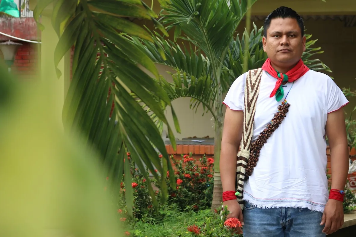
Acimvip, which brings together five Resguardos and five Cabildos of the Inga People, sits on a dusty street not far from the center. Since it was created in 2004 it has become a meeting place for Indigenous leaders. More than a couple of houses serving as offices and rooms, it is, according to Vanesa García, a lawyer from Bogotá who advises the association, a point of “great transformations”. “In recent years qualified leaders have arrived who seek the defense of the territory and have political clarity. They want to unite the Inga People. Thanks to that they have obtained victories such as the 2015 ruling”.
“The 2015 ruling” is a phrase repeated from Resguardo to Resguardo. There is no governor who does not invoke it when speaking of the achievements and rights of the Inga. What they refer to is a ruling issued by the Administrative Court of Nariño in July of that year, ratified by the Council of State, the highest body of national justice. In it the judges decided a tutela action filed by Acimvip after the company Gran Tierra Energy began an oil exploration project known as APE – La Cabaña.
In short, the high court sided with the Inga. They alleged the violation of several rights, including prior consultation, due process and autonomy. The reason? As the ruling states, the Ministry of the Interior, responsible for certifying the presence or absence of Indigenous people, had told Gran Tierra Energy that it could begin exploration on 629 hectares. According to the officials, there were no communities.
However, in the eyes of the judges, the Ministry did not do its job properly. Therefore, they ordered it to cease all activity and verify whether Indigenous people lived in the area. If the finding was positive, it had to carry out a prior consultation.
Among the evidence the Court received to make its decision were maps prepared by Jairo Muchavisoy, a forestry engineer and member of the Chaluayaco Resguardo. In them, he overlaid maps from the National Hydrocarbons Agency (showing existing oil blocks and those already under concession) with information from the Ministry of the Interior.
“I also included the precise location of rivers, Cabildos (Indigenous traditional authority) and Resguardos”, he explains. “That way we could clearly see whether a project was in the area of influence of a community. Our conclusion was that, indeed, APE – La Cabaña affected part of our territory. Based on technical arguments, we gave the Nariño Court reasons to order verification of the location of the Inga communities”.
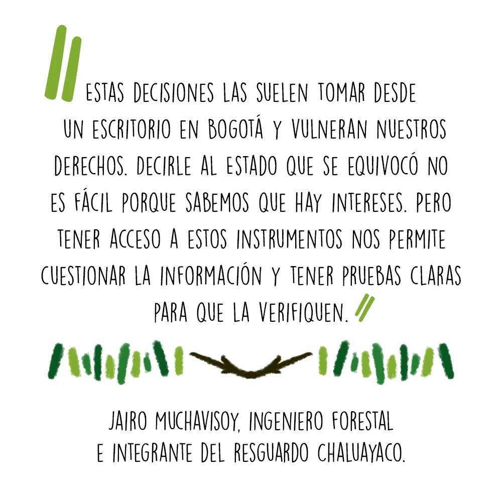
In Muchavisoy's eyes, the use of these tools allowed them to set a precedent. “These decisions are usually made from a desk in Bogotá and they violate our rights. Telling the State that it made a mistake is not easy because we know there are interests. But having access to these instruments allows us to question the information and have clear evidence for them to verify”, he says.
In somewhat more detail, what Muchavisoy did was compile geographic information from various public databases in order to then produce the maps in a software very popular among cartographers: ArcGIS. “Since I had studied engineering I had some foundations, but in 2012 I began exploring this software on my own. Little by little I learned to use it with written and video tutorials. I did tests with GPS and then uploaded them to the program to try to make polygons. It became a fundamental tool for defending the rights of our community. With that software we also showed that more than 90% of the municipality of Villagarzón was covered by oil blocks”, he explains.
But the existence of oil blocks, says Ana María Saavedra, social manager of Gran Tierra Energy, does not mean that the entire area is under exploration or exploitation. “APE – La Cabaña, for example, is part of a block called PUT 1 that covers more than 46,000 hectares. It is like comparing a football field to the city of Bogotá”, she says.
Saavedra, who defends prior consultation processes and clarifies that they have tried to approach the Inga for dialogue on multiple occasions, is right. Blocks do not necessarily imply drilling. They are large tracts of land where crude is presumed to exist and which the State auctions so that companies can explore them little by little. In the case of Putumayo, as the map accompanying this text shows, the oil blocks granted occupy more than half of the territory.
## Technology to defend the territory
Not much remains of the oil platform that once stood at APE – La Cabaña. There is barely a pit about two meters long by two wide that has been swallowed by vegetation. As we walk through the undergrowth, Luis Jansasoy Quinchoa, former president of Acimvip, points out to me the places where they protested a few years ago. We take a quick look and climb back into the white pickup truck that has taken us from Resguardo to Resguardo to the rhythm of reggaeton and norteño beats.
Although the court's ruling symbolized a victory for the Inga People over that piece of land, it also provoked an intense discussion between Acimvip, the Ministry of the Interior and Gran Tierra Energy. In brief, the Indigenous association set a condition for carrying out the verification tour ordered by the Nariño Court: the visits had to be made throughout the PUT 1 block and not only in the APE – La Cabaña area. The methodology, they warned, would be defined by the communities.
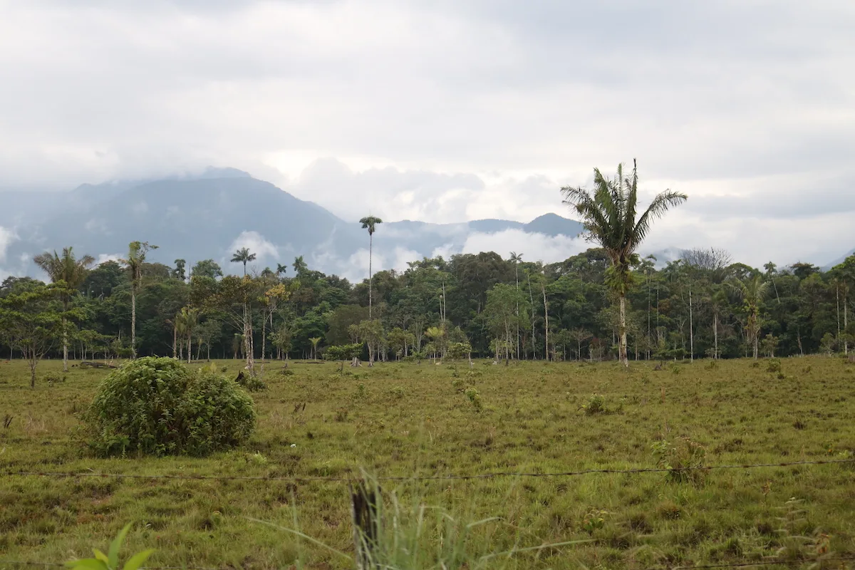
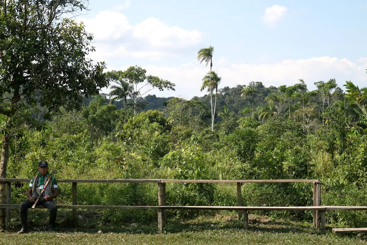
The proposal was the beginning of an exchange of letters and meetings that lasted three years. Only in 2018 did they reach an agreement: between September 19 and 26 they carried out the verification tour of the entire PUT 1 block. “The methodology was agreed upon”, reads the record of the lengthy visit. Officials from Corpoamazonía and the Ombudsman's Office, among others, took part in it. All admitted seeing communities in the block.
Acimvip, as it usually does, brought high-precision GPS to record the points walked. The South X6 models, sophisticated devices of more than 5 inches running on Android, allowed them to make a detailed sketch of the route. Then, explains engineer Jairo Muchavisoy, he downloaded the collected data onto his computer. Again, with the help of ArcGIS software, he produced another map that Acimvip sent as support to the Ministry of the Interior. “That information helps us demonstrate that we were indeed in the territory and compare it with the cartography the Ministry produces”, he notes.
The conclusion of the journey, according to Acimvip, was clear: “Having demonstrated the presence of Inga and Afro-descendant people in Block PUT 1, prior consultation must be carried out with the 10 Inga communities of Villagarzón and their representative organization”.
But since then, says Carlos López, the president of the association, it has all been a long wait. “The Ministry of the Interior must issue a resolution stating that there are indeed Indigenous people in this territory. It has not yet ruled, but we are preparing to carry out the prior consultation, which must be done with the whole people and not only with one community (as is usually done) because these projects affect us collectively”, he says.
Why has the Ministry taken so long? What were the results of its visit? Although for more than two weeks we requested on several occasions to speak with that entity, it was impossible to obtain a response. However, El Espectador and Mongabay Latam had access to the report prepared by the officials who were in block PUT 1. The 44-page document, which does not represent the final resolution, is dated November 14, 2018.
“It was established that the area of the APE – La Cabaña project does not overlap with or directly and specifically affect the territory where the communities carry out their sociocultural dynamics”, they wrote. “According to the above, it is established that [in the] area of direct influence of the APE – La Cabaña project there is no record of the presence of Indigenous Resguardos, parcialidades and/or Indigenous Cabildos of the Inga People”.
The signatory is Luis Fernando Bastidas Retes, director of prior consultation. His profile on the ministry's website says he is a lawyer from the Universidad Javeriana with more than 8 years of experience in the public and private sectors. “He has experience in governance and corporate affairs at trust companies and oil well drilling companies”.
## Hydrocarbons, a difficult discussion
These have not been good years for the oil sector. What has happened since 2015 is far from resembling the phenomenon seen in the first decade of the 21st century. Back then, Colombia, like several Latin American countries, experienced a commodities boom. “Extractivist” was the best adjective to describe those governments that intensified the extraction of minerals and hydrocarbons.
In the case of oil, something unprecedented happened. From 2007, the price of a barrel rose sharply. In mid-2008 it exceeded US $131. In 2012 it reached US $122. That year crude extraction left the Colombian State $30.7 trillion pesos (about US $10 billion). While in the 1990s production did not exceed 440,000 barrels per day, at that time it reached 944,000 (today it is 831,931).
But as economist and energy policy expert Francisco J. Monaldi wrote in the Harvard Review of Latin America, although that “boom” allowed Latin America to have its best economic performance in decades, those “social achievements cannot hide the significant challenges and some negative effects”. What he meant is that, seen in a little more detail, the wealth generated by hydrocarbon exploitation was not always reflected in improved conditions in the territories where it took place.
Putumayo is a good example of this. Although, as the latest report of the Mining and Energy Planning Unit indicates, this department accounts for only 4% of national production, its economy depends, to a large extent, on crude oil. Enrique Burbano, PhD in Economics, explained it some time ago in the journal Economía & Región: “Putumayo's production tends to concentrate in the oil and gas extraction sector, neglecting the potential importance of the primary sector”. According to his calculations, in 2010, 50% of its GDP consisted of hydrocarbons. That implies, he noted, “a high single-sector dependence and, at the same time, low diversification of the productive organization”.
To explain the paradox of a territory rich in raw materials yet with poor development indicators, economists often recall an old concept known as the “natural resource curse”. It is hard to know precisely whether it also occurs in Putumayo, but its indicators offer some clues.
The infant mortality rate, for example, was 18.7% in 2016, two points higher than the national rate (16.8%). In the first three months of 2019, the percentage of maternal mortality cases was higher than the country's: 89.4 versus 54.1. Data from the National Administrative Department of Statistics (DANE) for 2018 also reveal a complex situation: the multidimensional poverty index is above 25%. In addition, in 2010, the percentage of people with unmet basic needs was 36%.
Carlos López, of Acimvip, prefers to spare the figures. For him, as for several of the Inga leaders, there is a palpable fact: “The social fabric has been broken. Our culture has been weakened. In addition, we have had many problems with peasants because they say we oppose ‘development’. Some have received threats”. “With oil money, organizations and some families have begun to split”, states Pablo Emilio Cuchala, president of the Asociación de Cabildos inga andino amazónicos Kusai. “We want being Indigenous to stop being a source of shame. We want to recover our culture and that is why we insist on territorial defense”.
To carry out that defense, Acimvip has another plan: to create a new Resguardo of 31,000 hectares [ACIMVIP clarification: the Resguardo Nukanchipa Alpa Amukunapa Wasi was later constituted by the National Land Agency through Agreement 113 of January 28, 2020, confirmed by Agreement 126 of July 15, 2020], an area similar to one sixth of Bogotá or almost twice the city of Bucaramanga. There, says Carlos, lies the ancestral territory Nukanchipa Alpa Amukunapa Wasi. “The masters and spirits of the Inga People are there, who manifest themselves when we take the remedy (yagé). There are water sources and wild animals”.
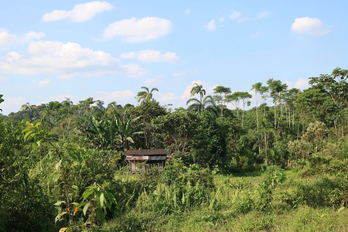
Carlos points it out to me on a map more than a meter high that he does not allow to be photographed. They built it with high-precision GPS and ArcGIS software. For seven days, four people walked the southern boundary of that area and each time there was a break in the terrain or a very sharp curve they marked a coordinate. In total they recorded 50 points from the Putumayo River to the San Juan River.
“It is high-precision technology”, explains engineer Jairo. “The error is under one meter. Then, with the support of a surveyor from the National Land Agency, we built the map”. “They already have it and we are waiting for them to approve it, but I sense it is on the right track”. And if there are crude oil deposits, what will they tell the Ministry? “No”, answers Carlos. “This will be a territory dedicated to conservation. It will be ours. We will not allow any activity; not even research. It will be for our survival”.